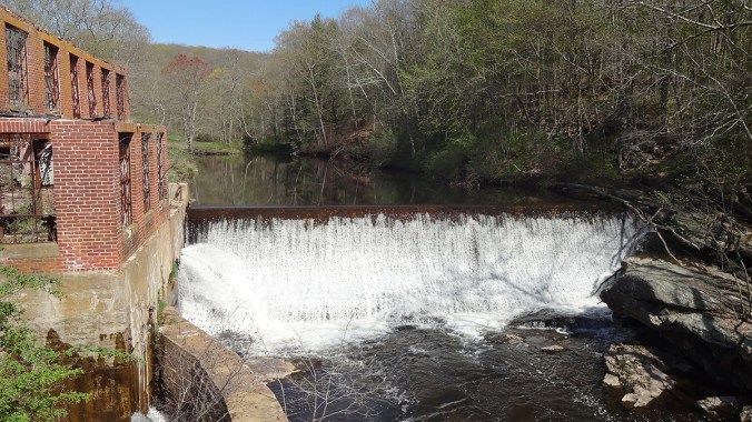
Norton Mill Dam view from the bridge. Photo © Lia McLaughlin / USFWS through a Creative Commons license
Outtakes: Exploring America’s Most Dammed Waterways
by JENNY ROGERS
Sally Harold has one eye on the river and one on the cars whizzing by as we stand on a road near the freeway. A river restoration specialist for The Nature Conservancy’s Connecticut River program, she’s showing me a map of the state, obscured with dots representing dams. To our left, a burned-out mill building looms over a small river. To our right, the road that leads northeast to Hartford.
“This is an attractive nuisance,” she says, pointing to the burned-out shell. “There were two fires—one in the late 1800s and another one in the early 1900s. … I always think it looks like a movie set.”
“A creepy one,” I say.
It’s October 2015, and I’m in town reporting a story for Nature Conservancy magazine about the removal of defunct dams. Harold has offered to show me a few in her state, but we’ll barely scratch the surface today—there are more than 4,000 dams here.
