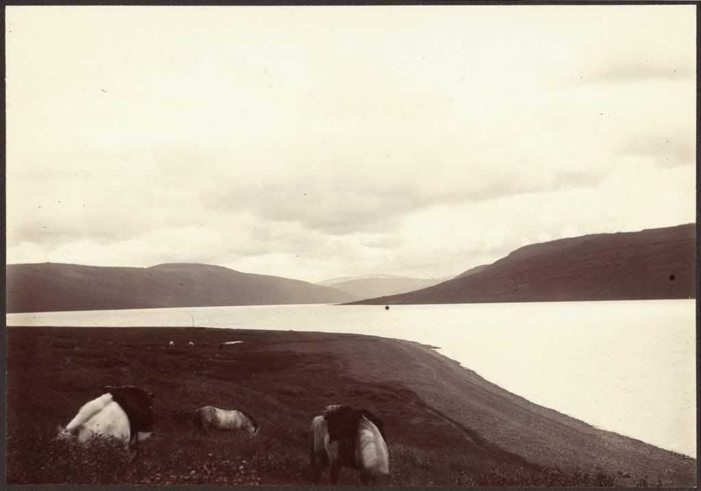
The head of Skorradalsvatn. Collodion print ca. 1900 by Frederick W. Howell. Bequest of Daniel Willard Fiske; compilation by Halldór Hermannsson at the Fiske Icelandic Collection of Cornell University.
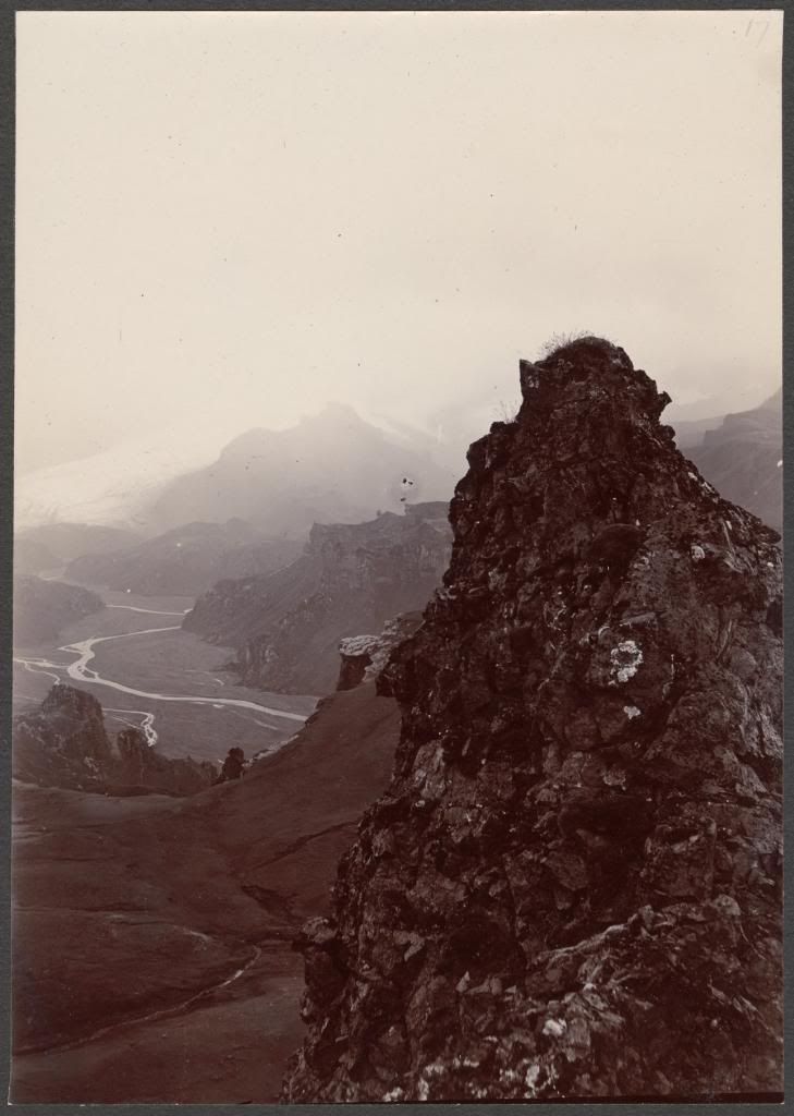
Þórsmörk. Head of Krossárdalur. Collodion print ca. 1900 by Frederick W. Howell. Bequest of Daniel Willard Fiske; compilation by Halldór Hermannsson at the Fiske Icelandic Collection of Cornell University.
It was mentioned a week or two ago that Iceland is in the air. For me, Iceland is on my mind, in my laptop, hidden throughout the Cornell libraries, and scattered about my room. After a couple essays for an environmental history course last year and some preliminary research for finding an honors thesis topic in the history major, I discovered that, thanks primarily to Cornell University’s first librarian, we have one of the largest collections of Icelandic material in the world. Since one of my projects for the environmental history class had shown me that Iceland was an interesting place to examine more closely, I did some more research and found the topic of European travel there during the eighteenth and nineteenth centuries engaging enough to choose as an honors thesis subject.
One of the places in Europe with the most spaces left blank by cartographers through the eighteenth and nineteenth centuries, Iceland’s inner regions were not fully mapped until 1901. Continue reading