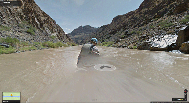
Screen capture from Google’s Street View Grand Canyon
We have not been sourcing from Harper’s, one of the great magazines covering topics of interest to Raxa Collective. We will mend our ways starting now:
Grand Plan
Why has Google added the Grand Canyon to Street View? By Jeremy Miller
“That’s another thing we’ve learned from your Nation,” said Mein Herr, “map-making. But we’ve carried it much further than you. What do you consider the largest map that would be really useful?”
“About six inches to the mile.”
“Only six inches!” exclaimed Mein Herr. “We very soon got to six yards to the mile. Then we tried a hundred yards to the mile. And then came the grandest idea of all! We actually made a map of the country, on the scale of a mile to the mile!”
“Have you used it much?” I enquired.
“It has never been spread out, yet,” said Mein Herr: “the farmers objected: they said it would cover the whole country, and shut out the sunlight! So we now use the country itself, as its own map, and I assure you it does nearly as well.”
—Lewis Carroll, Sylvie and Bruno
In March, Google released its latest digital creation, a river-level view of the entire Grand Canyon — all 286 miles of it, from Lee’s Ferry on the canyon’s northern end to Pearce Ferry on its southern. The company’s programmers compiled some 57,000 360-degree panoramic images shot by a raft-mounted camera to create the virtual trip. Additionally, hikers wearing Google-built “Trekker” backpacks captured panoramas of several inner-canyon trails. The Street View Grand Canyon is an offshoot of the company’s well-known Street View feature, which millions have used to rove suburban cul-de-sacs or back roads of exotic cities.
Google says it embarked on the Grand Canyon project with conservation in mind, in partnership with the environmental group American Rivers, which in 2013 declared the Colorado the country’s “most endangered” river. The hope, according to a Google release, is that those who take the virtual journey will become engaged in protecting the real waterway.
The project interested me because in 2011, I received a grant from Stanford University’s Bill Lane Center for the American West to build an interactive digital map of the Grand Canyon — albeit one far less technologically ambitious than Google’s. The grant came after years of compulsively studying and tracking a forgotten artist, cartographer, and explorer named Friedrich W. von Egloffstein, who made the first map of the canyon.
The Bavarian-born Egloffstein traveled along the 38th Parallel with John C. Frémont’s fifth expedition in 1853–1854, then with Joseph Christmas Ives’s Grand Canyon expedition of 1857–1858. The map I eventually made of the canyon, working with Lane Center multimedia specialist Geoff McGhee, was a digital recreation of two of Egloffstein’s exquisite shaded relief maps; it appeared on Harpers.org as a supplement to my magazine feature “The Long Draw.”
Egloffstein would, I think, have approved of Google’s latest effort. Toiling in extreme secrecy, he invented and patented a host of technologies to produce his maps, including several processes that allowed photographic images to be transferred to paper. His ultimate goal was to combine overhead map projections with panoramic images of the landscape. The historian J. B. Krygier describes the effort this way: “[T]he specific locations of the panoramas are noted on the expedition’s maps, and one can plot the planimetric extent of the panoramas by calculating the bearings from the point located on the map. . . . This feature ties the panoramas to the map, and the map to the panoramas.” In other words, Egloffstein was creating the nineteenth-century equivalent of Street View.
I was dazzled the first time McGhee and I saw the virtual landforms of Google Earth poking up from under the antique map like a tablecloth draped over an Old West train set. Overlaying old charts on Google’s mosaic of the modern West felt almost subversive, like a rejection of modernity itself. We built the map so that you could strobe instantly between past and present or crossfade one map with the other, transforming the blank spaces of the unexplored canyon into the jumble of roads, hotels, and gift shops strewn along the Grand Canyon’s rim today.
But if our Egloffstein overlays allowed for nostalgic dips into the nineteenth century, Google Earth’s Grand Canyon reveals the advantages of modernity, permitting instant travel across miles of fractured terrain, thereby nullifying time and distance, the very factors that vexed early expeditions as they searched for transcontinental-railroad and military routes — the roads by which the American West was conquered…
