Waterstudio renderings like this one, of a floating “city” in the Maldives, are created using tools including Photoshop and the A.I. program Midjourney. Art work courtesy Waterstudio / Dutch Docklands
We respect the Dutch for their respect of nature, particularly their respect for the power of water and their longstanding determination to harmonize our life with it. This profile extends our respect:
A Dutch Architect’s Vision of Cities That Float on Water
What if building on the water could be safer and sturdier than building on flood-prone land?
Koen Olthuis, the founder of the architectural firm Waterstudio, believes that floating buildings like the Théâtre L’Île Ô, in Lyon, will transform urban living like skyscrapers did a century ago. Photograph by Giulio Di Sturco for The New Yorker
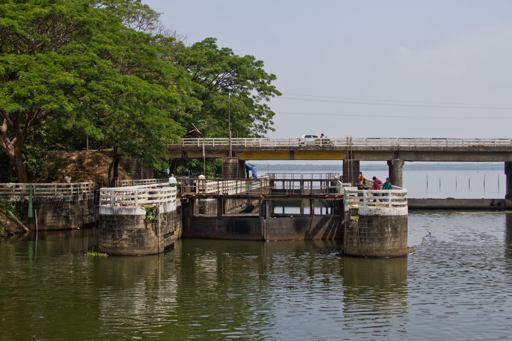
In a corner of the Rijksmuseum hangs a seventeenth-century cityscape by the Dutch Golden Age painter Gerrit Berckheyde, “View of the Golden Bend in the Herengracht,” which depicts the construction of Baroque mansions along one of Amsterdam’s main canals. Handsome double-wide brick buildings line the Herengracht’s banks, their corniced façades reflected on the water’s surface. Interspersed among the new homes are spaces, like gaps in a young child’s smile, where vacant lots have yet to be developed.
A rendering of a floating forest in the Persian Gulf, devised as part of a strategy to combat heat and humidity. When building projects on the water, Olthuis says, “you have to be very, very patient.” Art work courtesy Waterstudio
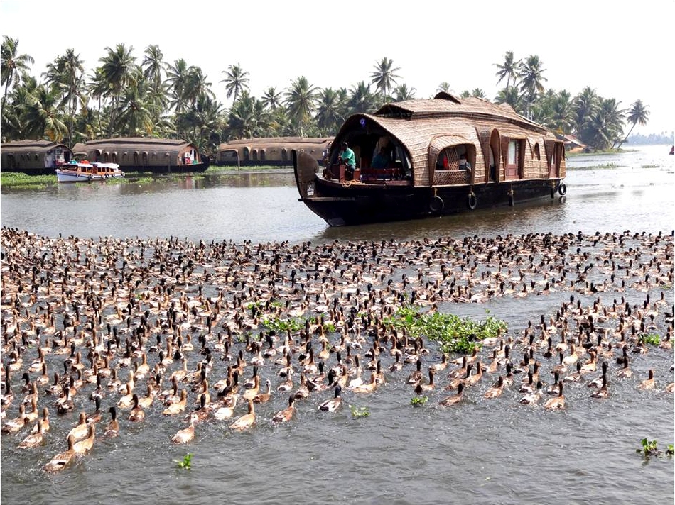
For the Dutch architect Koen Olthuis, the painting serves as a reminder that much of his country has been built on top of the water. The Netherlands (whose name means “low countries”) lies in a delta where three major rivers—the Rhine, the Meuse, and the Scheldt—meet the open expanse of the North Sea. More than a quarter of the country sits below sea level. Over hundreds of years, the Dutch have struggled to manage their sodden patchwork of land. Continue reading