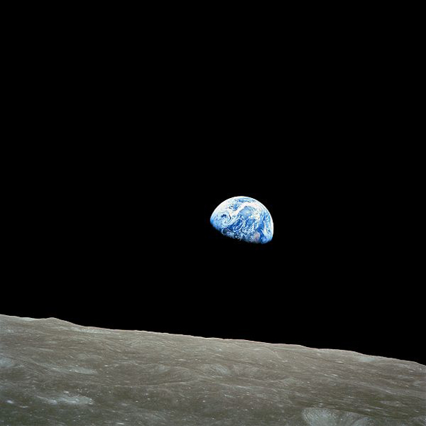
The news headlines started carrying this story more than a week ago, but it was not until now that we had the chance to understand it. Thanks to the Atlantic‘s coverage:
The project was built in conjunction with the U.S. Geological Survey, NASA, and TIME. The images come from the USGS-NASA’s satellite program LANDSAT, which were often stored on tapes like those in the thumbnail to the right. Google started sorting through a collection of 2,068,467 images back in 2009 — 909 terabytes of data, according to Google — finding the highest quality pixels (which is to say, shots not obscured by clouds), “for every years since 1984 and for every spot on Earth.” Continue reading